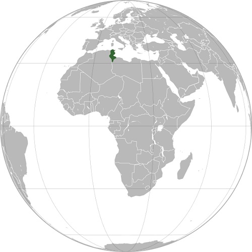
File:موقعیت جغرافیایی تونس.jpg
موقعیت_جغرافیایی_تونس.jpg (500 × 500 pixels, file size: 48 KB, MIME type: image/jpeg)
This image was copied from wikivahdat:fa. The original description was:
تغییر تصویر
| Date/Time | User | Dimensions | Comment |
|---|---|---|---|
| 2020-11-30T19:09:10Z | Negahban | 500×500 px (49662 bytes) |
File history
Click on a date/time to view the file as it appeared at that time.
| Date/Time | Thumbnail | Dimensions | User | Comment | |
|---|---|---|---|---|---|
| current | 15:22, 8 June 2023 |  | 500 × 500 (48 KB) | VahdatBot (talk | contribs) | This image was copied from wikivahdat:fa. The original description was: تغییر تصویر {| class="wikitable" ! {{int:filehist-datetime}} || {{int:filehist-user}} || {{int:filehist-dimensions}} || {{int:filehist-comment}} |- | 2020-11-30T19:09:10Z || Negahban || 500×500 px (49662 bytes) || <nowiki></nowiki> |} fa:پرونده:موقعیت جغرافیایی تونس.jpg |
You cannot overwrite this file.
File usage
There are no pages that use this file.
